Ten ways to redraw the United States, all of them improvements.
The US, but every state is Texas
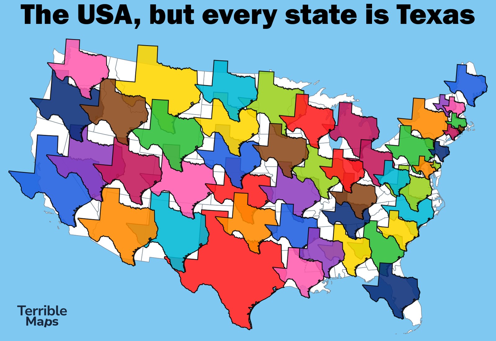
I replaced every state with a Texas, shrunk or stretched to sit roughly where the original state was. The real Texas is the big red one at the bottom.
The US, but every state only gets three corners
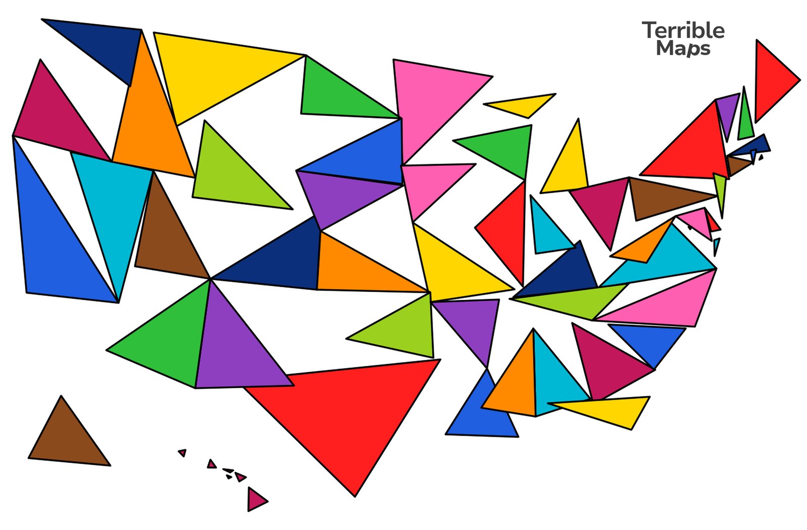
Every state gets three corners and no more. Texas comes out of it owning a bit of Mexico.
The US, but every state is Florida
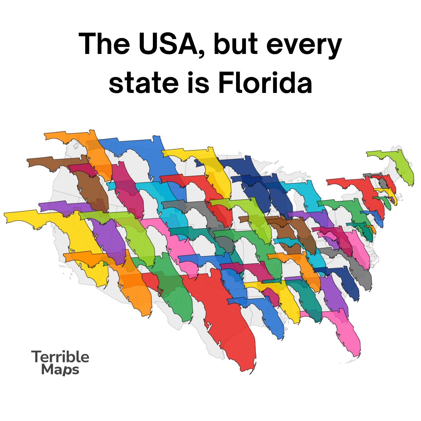
The same idea as the Texas map, but every state is Florida, panhandle and all.
The US, but every state is the same width
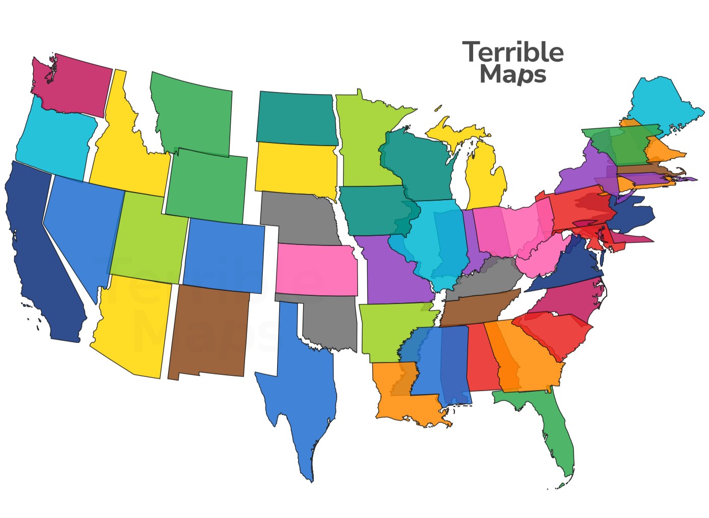
Every state, made exactly as wide as every other state.
The United Squares of America
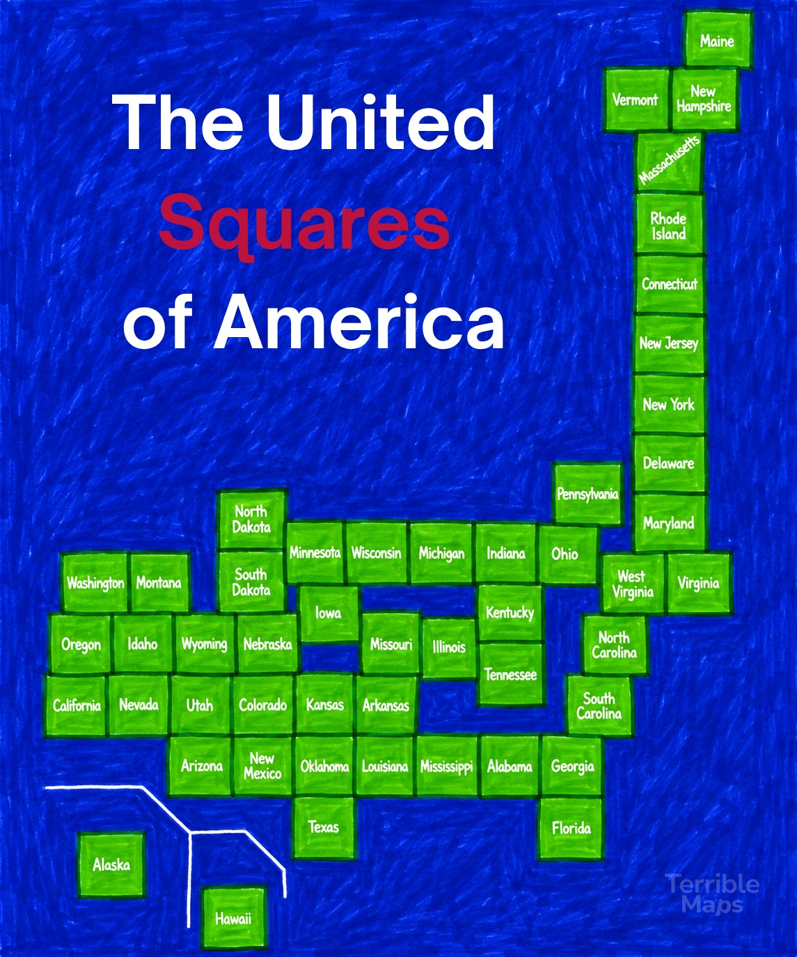
Every state is a square, laid out roughly where it belongs. Alaska and Hawaii got squares too.
The US if the Romans had colonised it
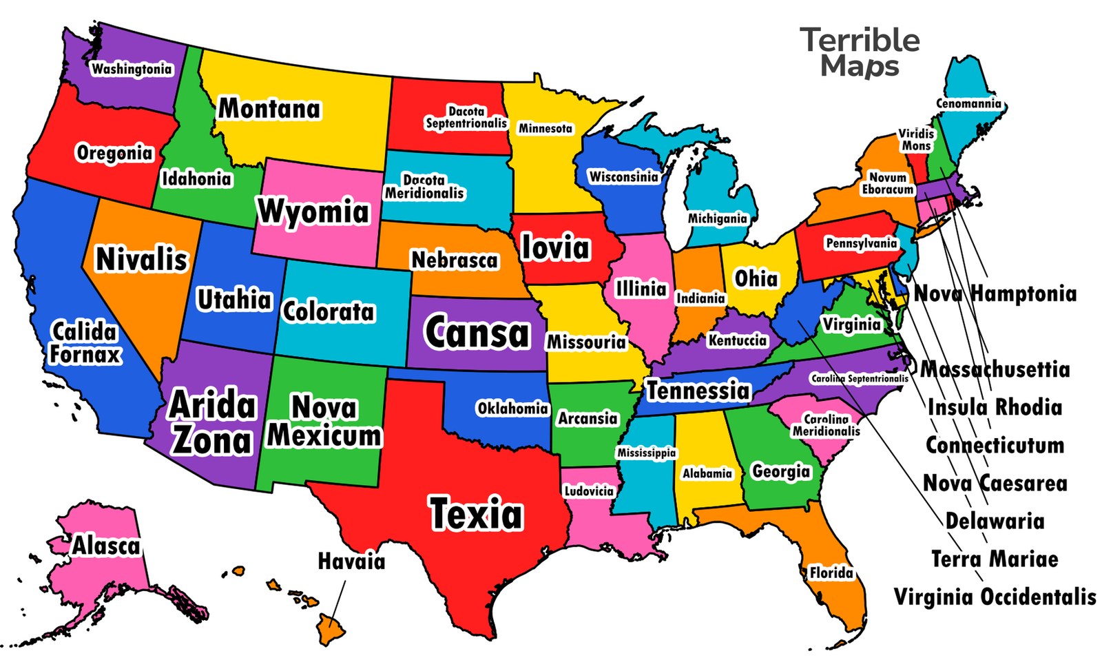
If the Romans had got there first, the states would be called Texia, Cansa, Nova Mexicum and Calida Fornax, and the East Coast would be full of Nova Hamptonia and Insula Rhodia.
The US if it had been colonised by Britain
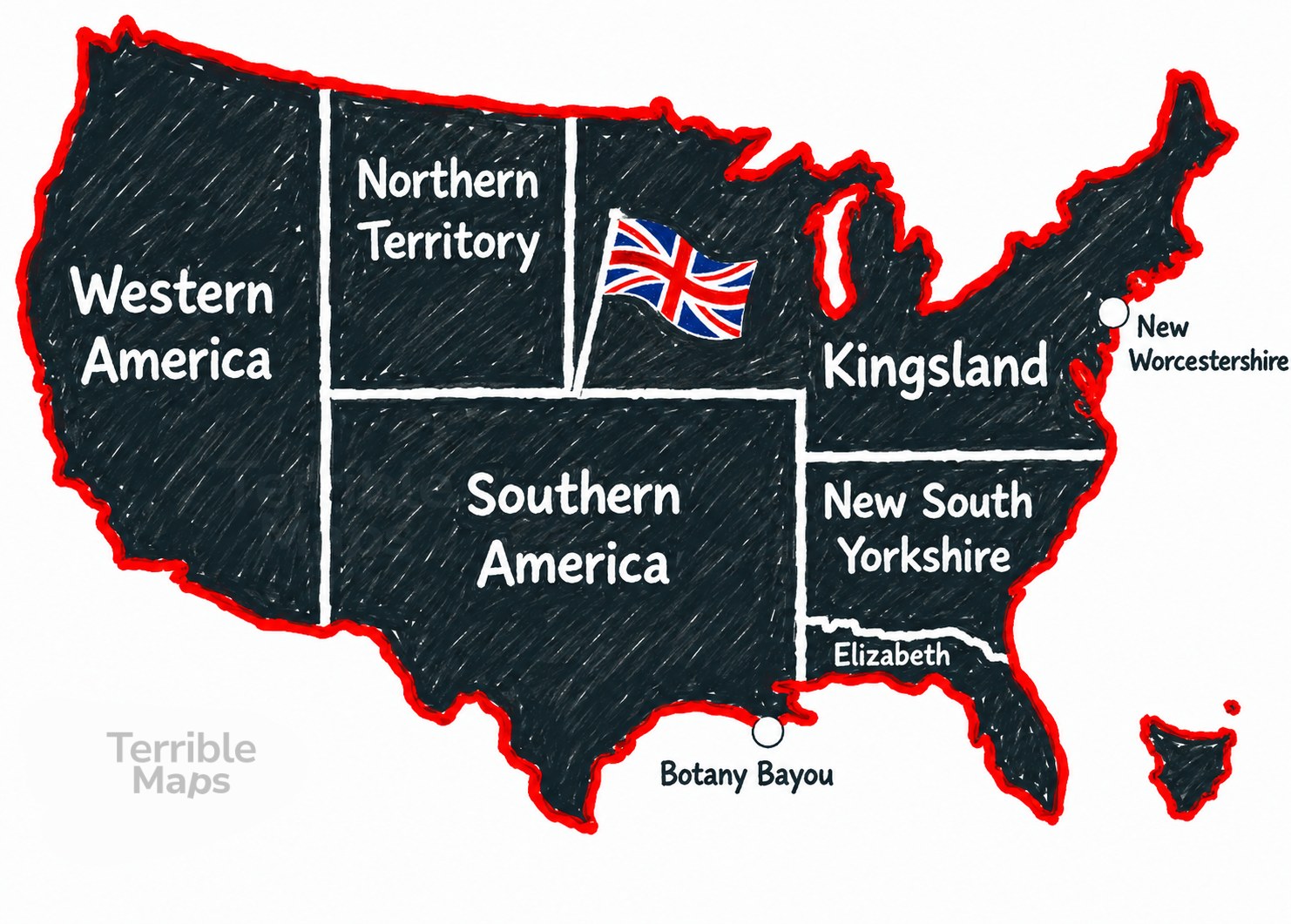
Western America, Northern Territory, Southern America, Kingsland and New South Yorkshire, with Botany Bayou on the Gulf coast.
The US if every state was named like West Virginia

Every state named the way West Virginia was. Texas becomes South West West West South Virginia, Alaska is Big Virginia and Hawaii is Island Virginia.
The new state of Calabama
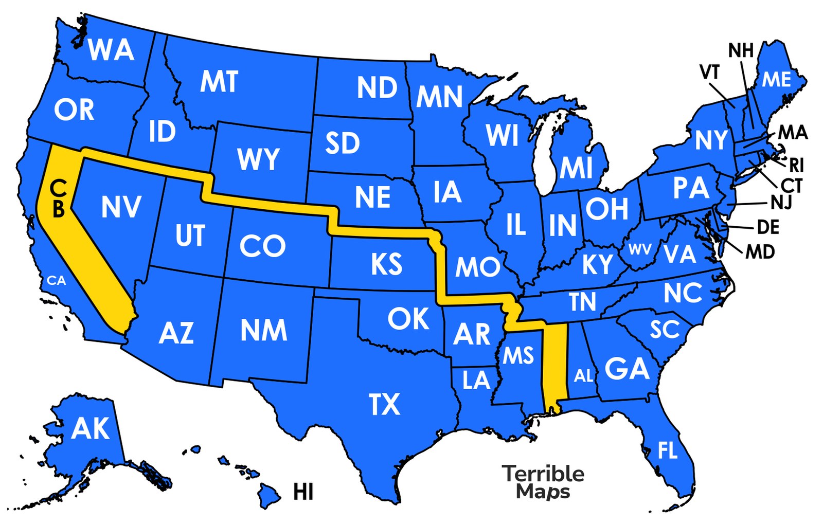
California and Alabama, joined into one state by a thin strip across the middle of the country.
Introducing Alabaska, the 52nd state
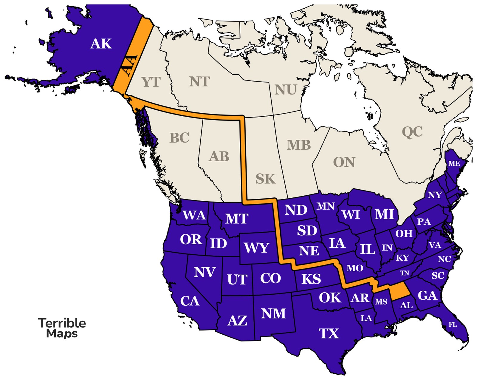
Alaska and Alabama, joined into one state. It needs a strip through Canada to work.
Share these maps
More from Terrible Maps
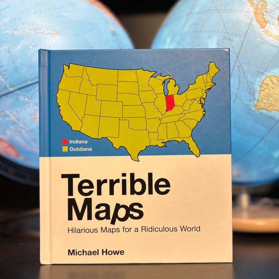 The bookTerrible Maps: Hilarious Maps for a Ridiculous WorldOut now in the UK, US, Canada and Australia.
 The shopShirts, hoodies, mugs and printsIncluding the Africa / Asia T-shirt.
There’s a new terrible map most days on Facebook and Instagram.